


Kākaunui is the correct spelling for the Kakanui River, which flows in an easterly direction reaching the Otago coastline south of Ōamaru. During the 1879 Smith-Nairn Royal Commission of Inquiry into the Ngāi Tahu land claims, Rāwiri Te Mamaru and other Ngāi Tahu kaumātua recorded Kākaunui as a kāinga mahinga kai (food-gathering place) where weka, tuna (eels), tutu, and kōareare (the edible root or rhizome of raupō/bulrush) were gathered.
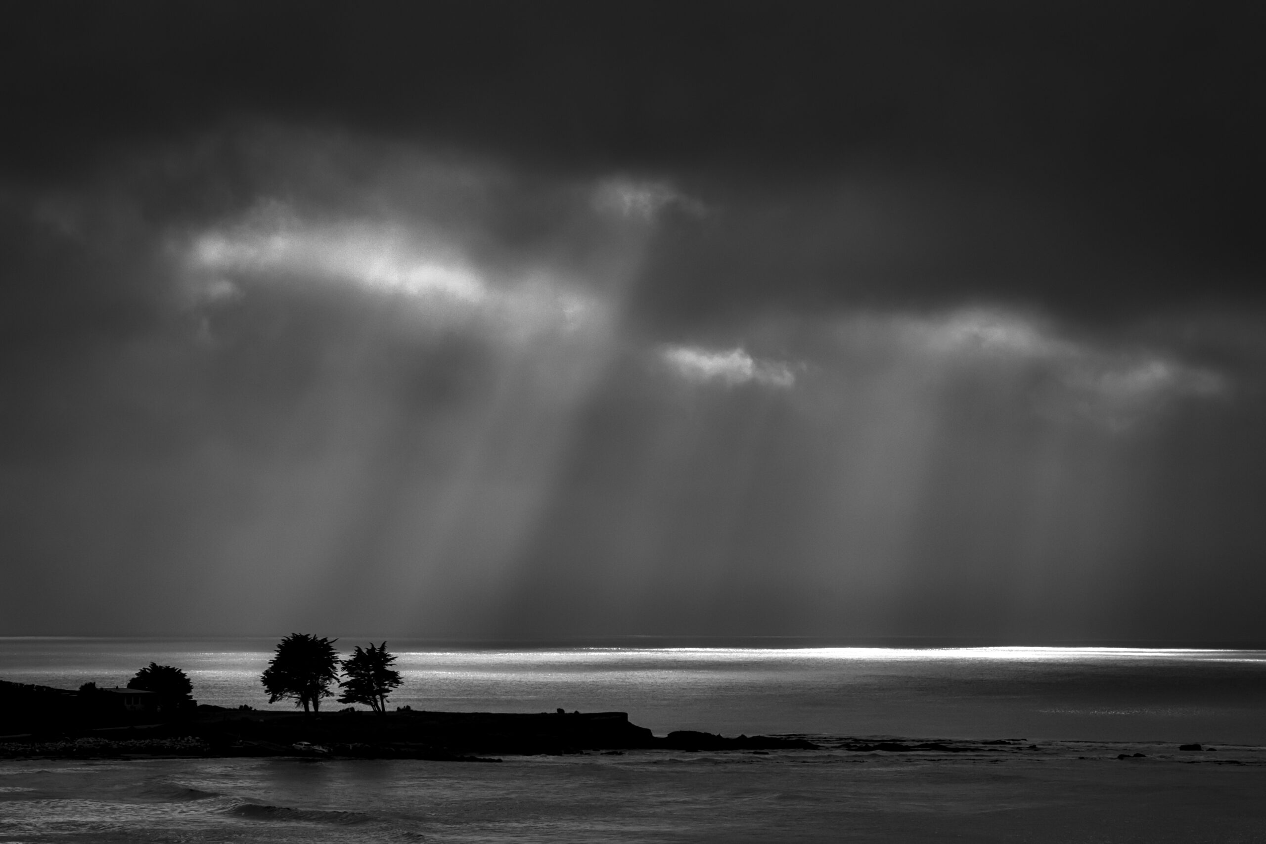
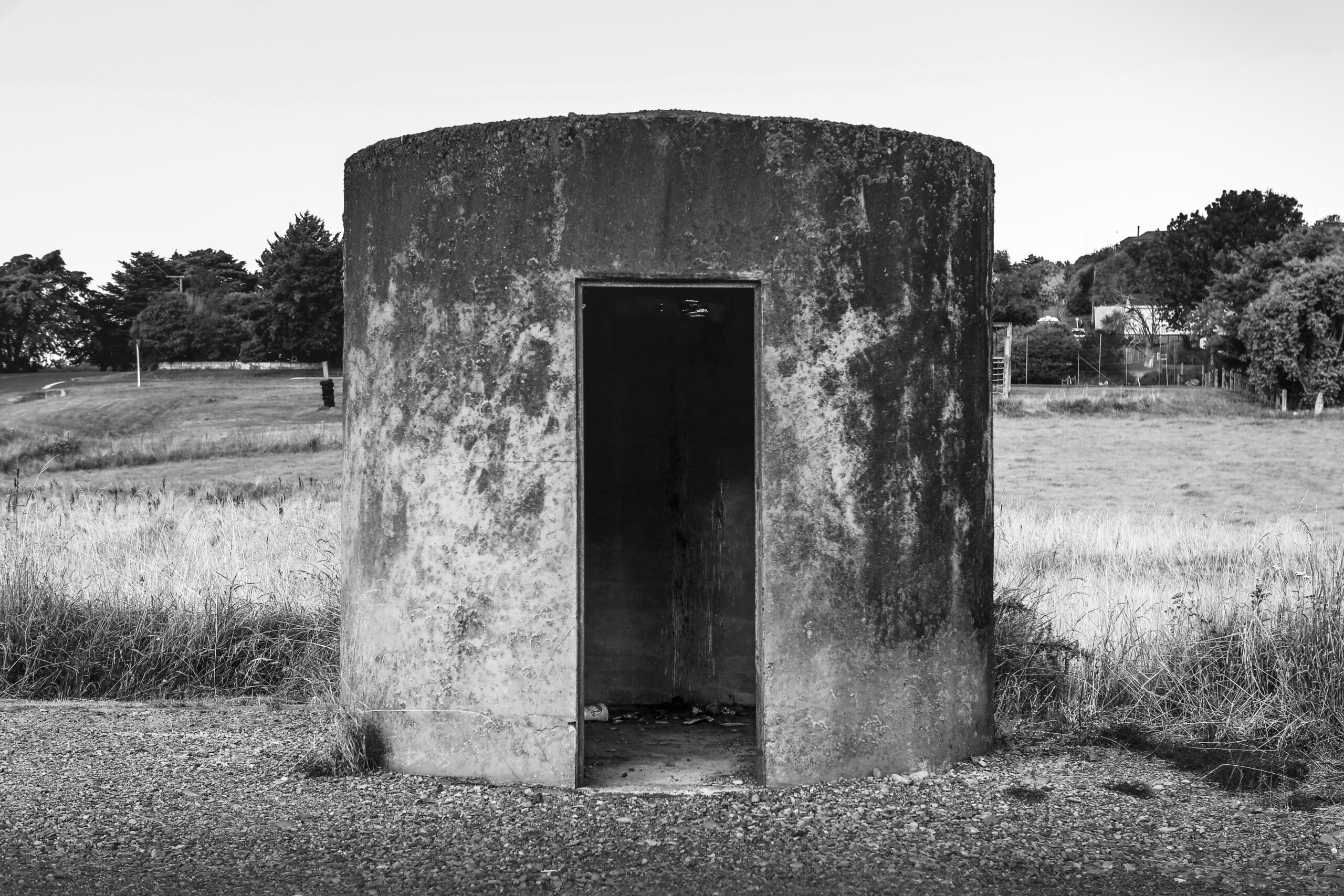
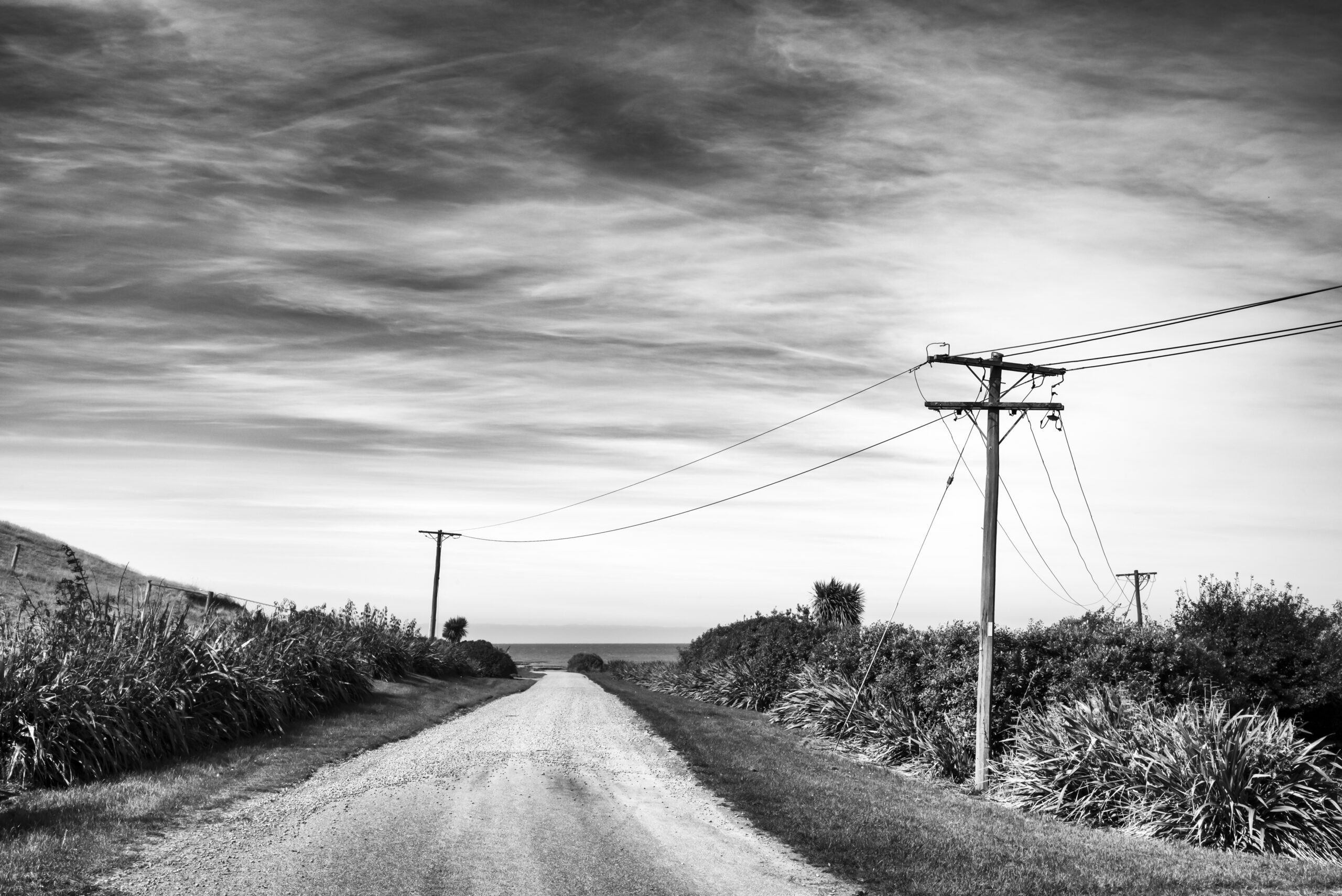
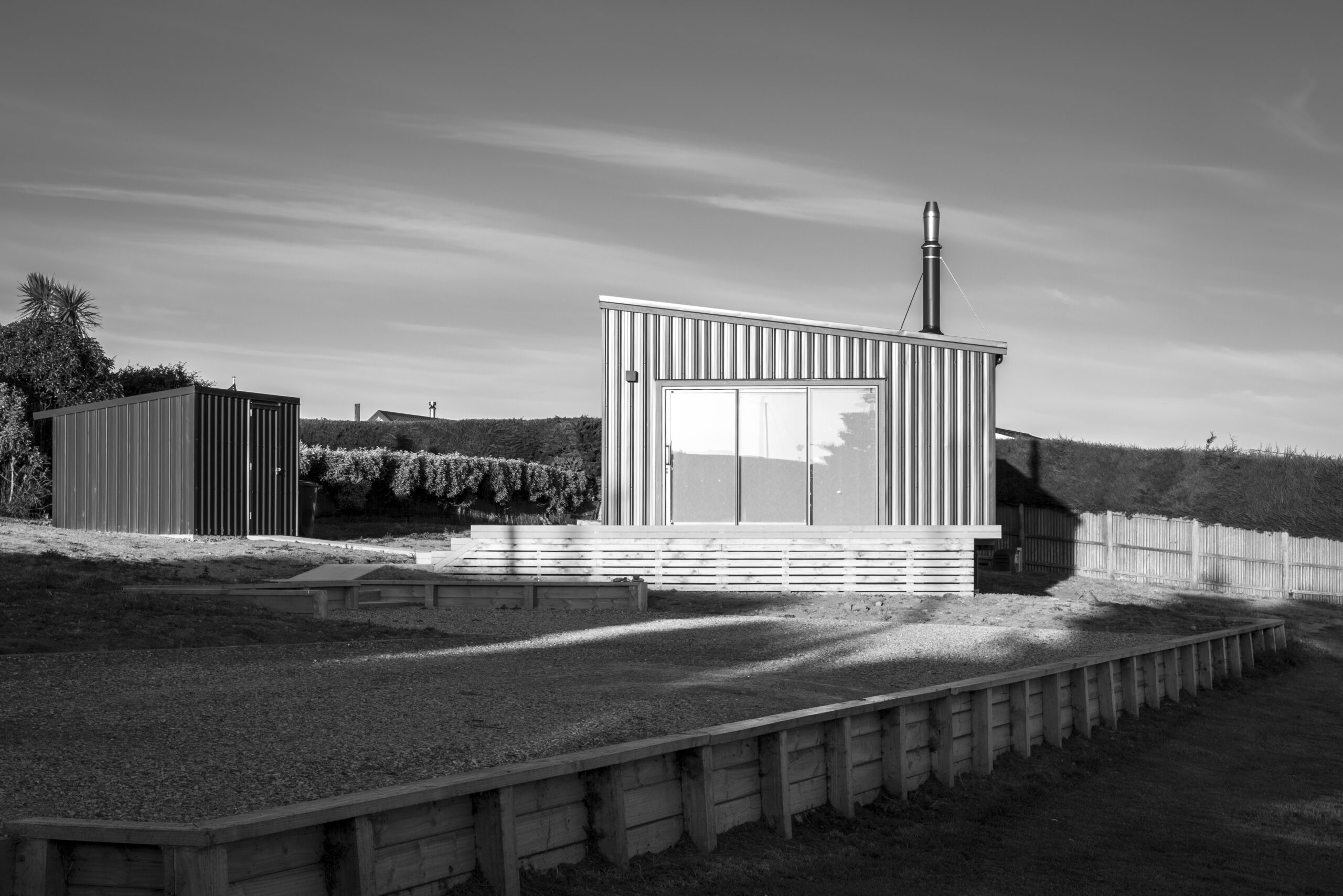
More commonly anglicised to Kakanui, the confluence of the river and ocean is the site of this small settlement on the North Otago Coast. Our friends’ bach there has become our artists retreat – the place we gravitate to in order to refocus our photography and goals.
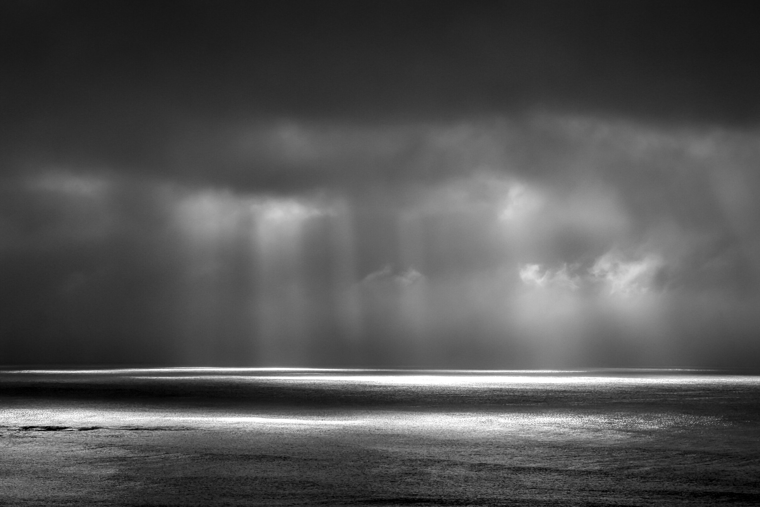
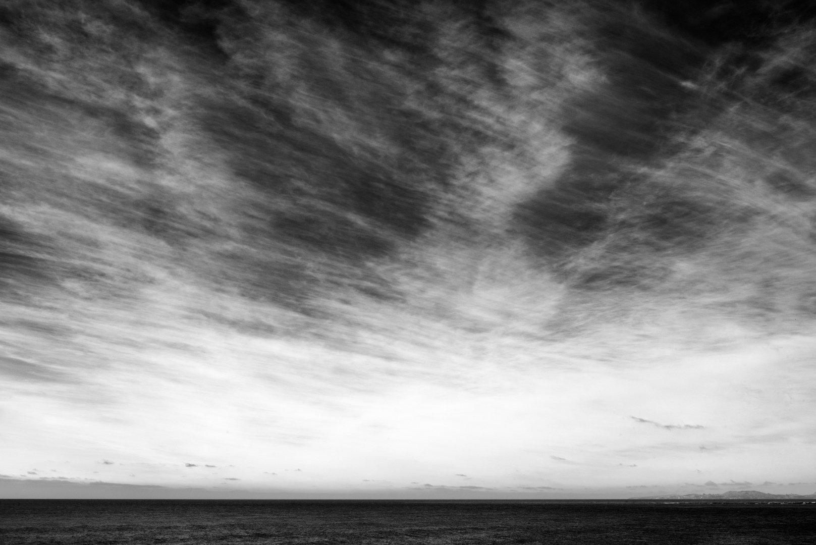
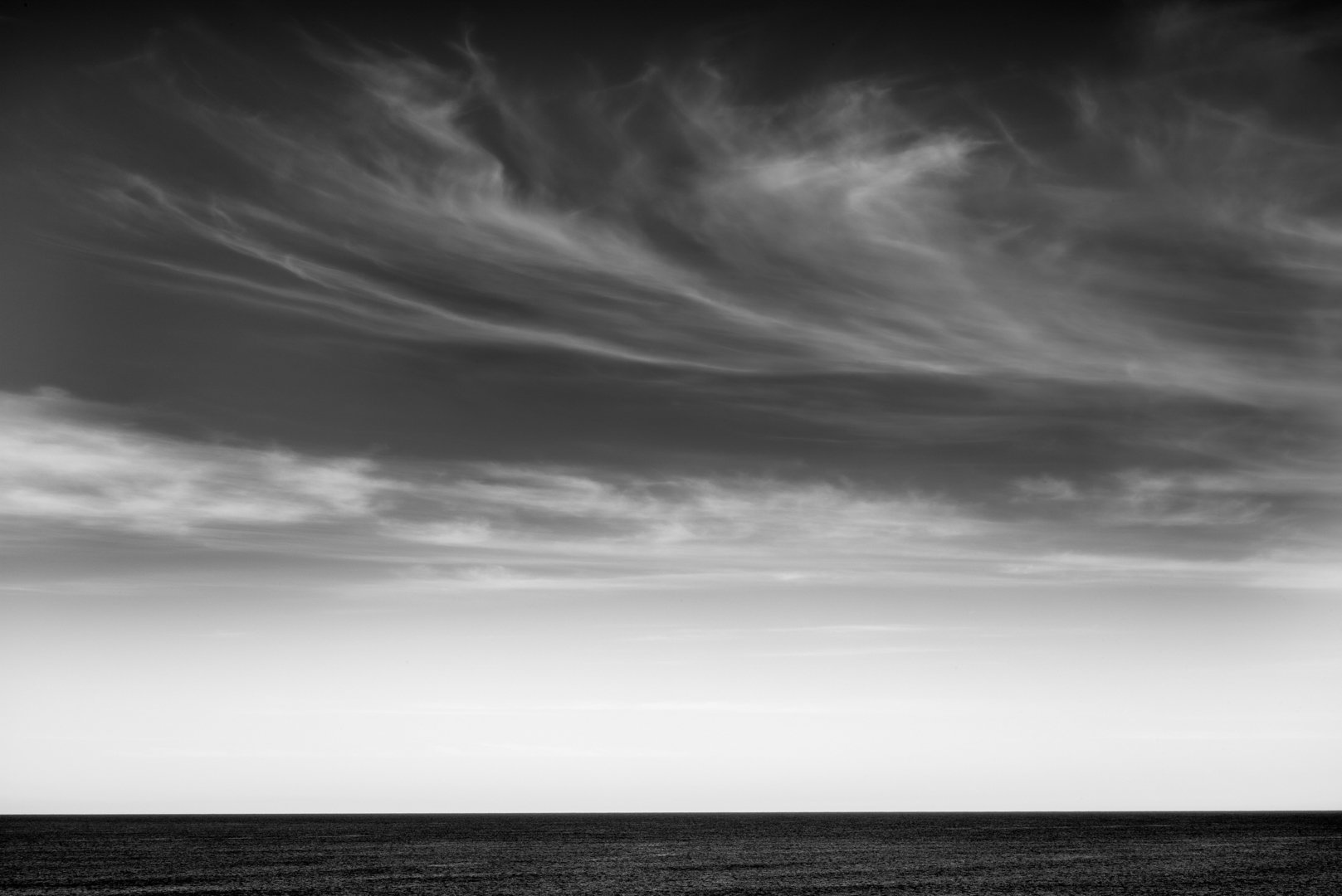
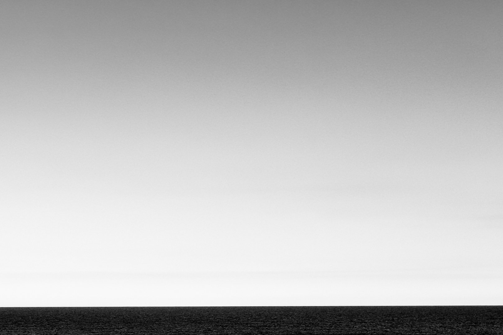
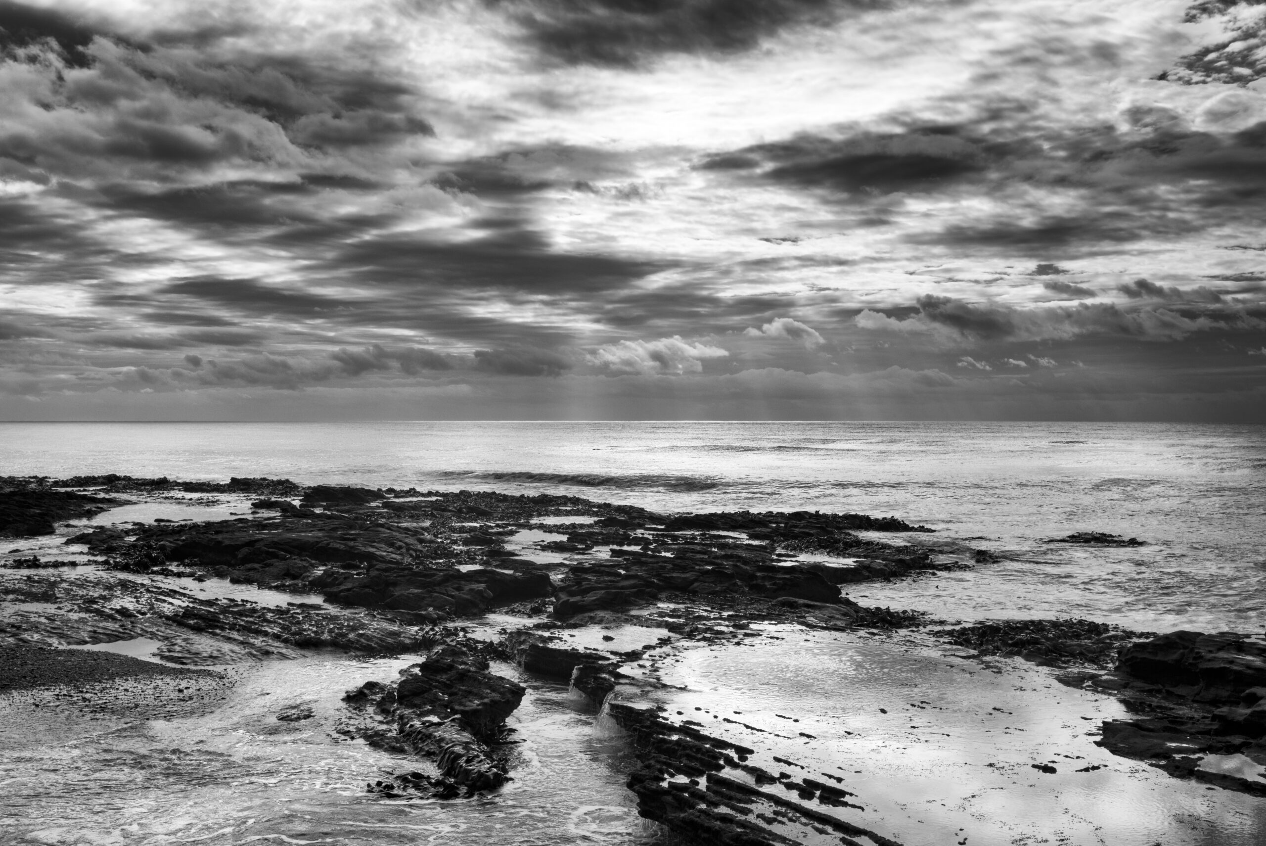
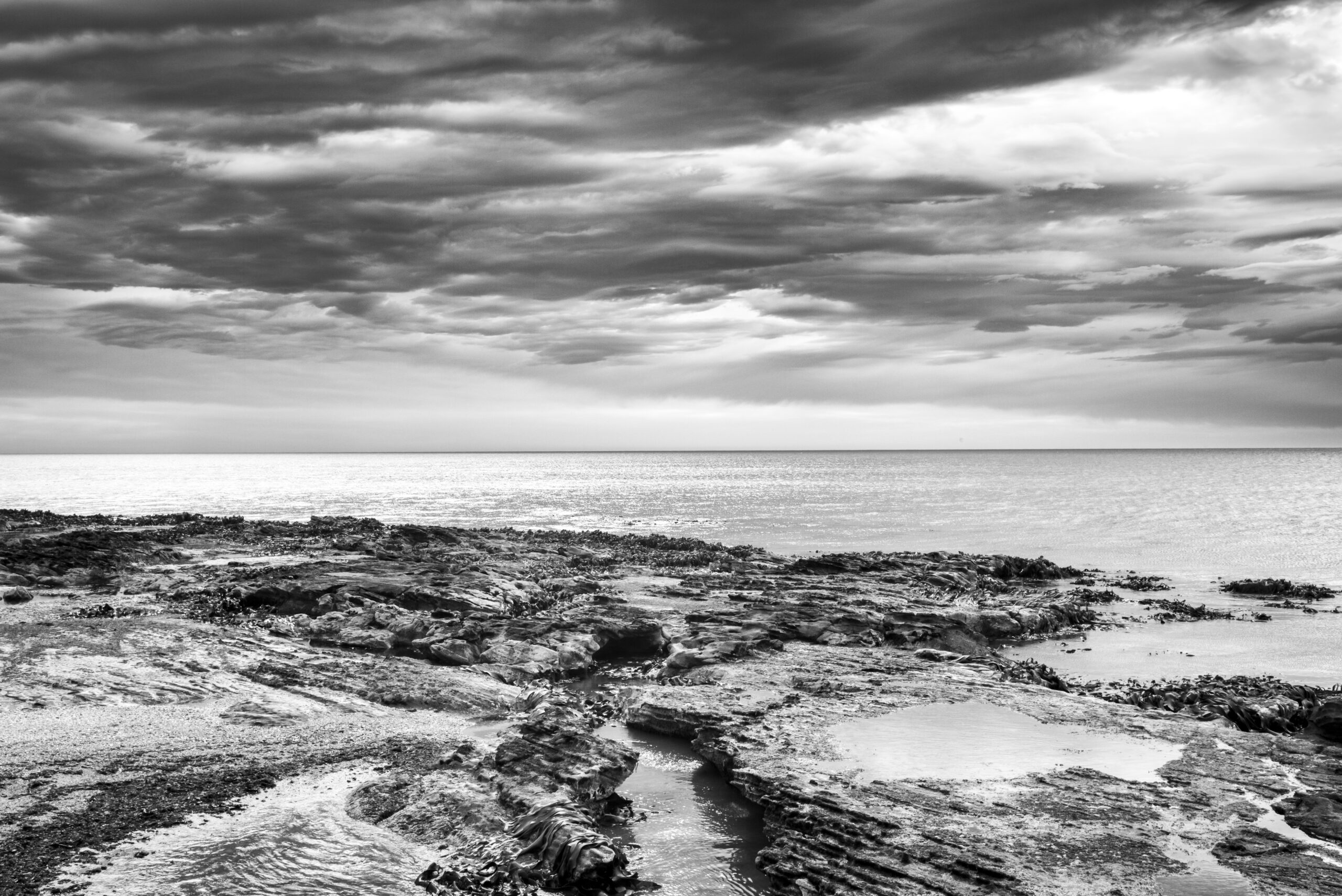
There is a sense here of going back in time to an era when things were less complicated, less crowded and people were friendlier. The seascapes have a distinctly spiritual dimension.
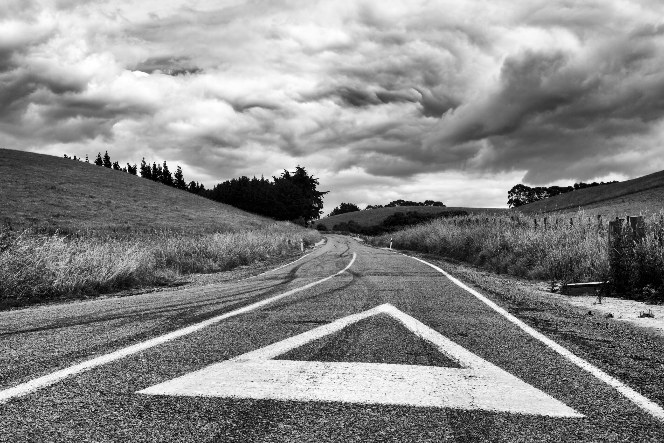
Spectacular skies and coastline, an ocean that can be both violent and menacing but also fluid and calming – it is a haven for photographers needing to replenish and refresh.
References
kahurumanu.co.nz


